Better Science, Better Results: Geotechnical Case Studies
MERIT is proven to reduce costs and remediation time associated with subsurface void, soil type, and groundwater issues. We have a solid track record of providing our clients with better science and better results than what’s commonly available in geologic industries today. Our clients consistently use MERIT data to drive down costs and time associated with investigating and remediating their sites.
MERIT Aids in Risk Assessment for Highway Design Build

Problem: Initial Florida Department of Transportation roadway explorations identified sinkhole conditions. The FDOT consultant performed ground penetrating radar and standard penetration test borings in conjunction with FDOT cone penetrameter testing, totalling 26 exploration points, which identified deep relic sinkhole conditions. FDOT determined that deep geophysical imaging was needed to assess risk.
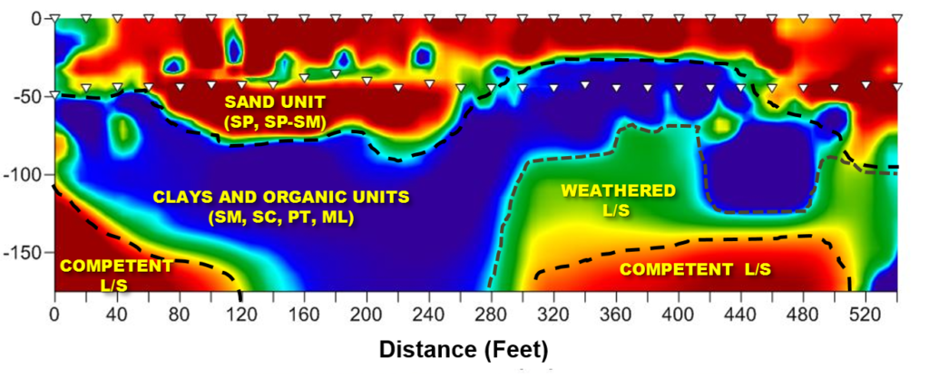
Results: MERIT identified the sinkhole throat at 170 feet with corresponding identification of subsurface geometry, including competent limestone, weathered limestone, raveling soils, and upper sand unit. Also evident was the geometry of the sinkhole depression infilled by the upper sand unit.
Outcome: Based on the totality of the geotechnical testing and deep geophysical imaging, risk modeling was performed to determine the potential activity of the sinkhole was low. Thus, no additional ground modification would be required to support the proposed roadway.

MERIT Reduces Remediation Time at Tampa, FL Apartment Complex Sinkhole

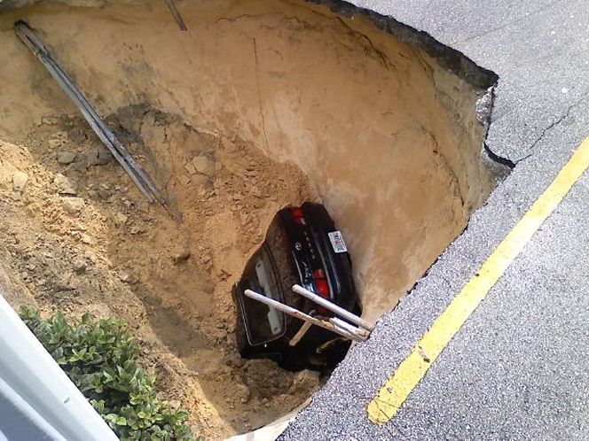
Problem: In 2010 a sinkhole opens up at the Bordeaux Village condominiums shallowing a car, making national news. The sinkhole was infilled and foundation underpinning and grouting of the structure was performed.
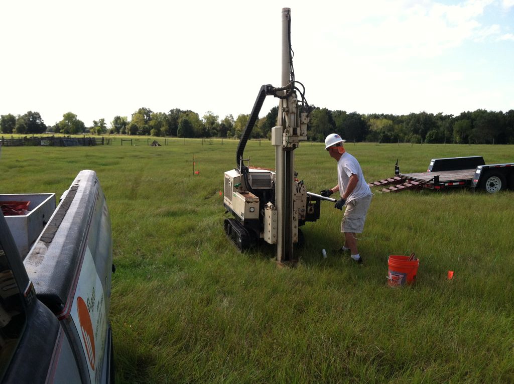
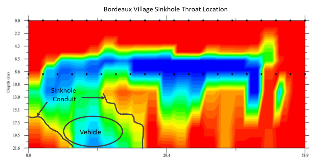
Results: Concerns over the exact location of the sinkhole throat lead to MERIT geophysical survey. Installation was performed over the sinkhole location using direct push, allowing for installation without drilling fluids which may reactivate the sinkhole. The throat was clearly imaged at 13 meters.
Outcome: Clear identification of the sinkhole throat enabled precision foundation stabilization via grouting and underpinning. Additionally MERIT was able to confirm the sinkhole’s conduit system and identify the vehicle.

